Tracking with the use of a map
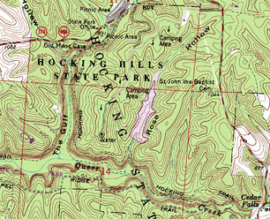
A topographical map of Hocking Hills State Park This is an example of what a topographical map could look like. This is a topographical map that shows elevation of Hocking Hills State Park. This shows ravines.
|
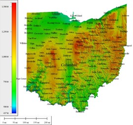
A topographical of OhioThis is a different type of a topographical. Though it is a topographical map, it does not show any underground features (ex. ravines).
|
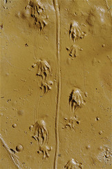
Salamander feet tracksThis is an example of the Blue Spotted Salamander's tracks. The tracks help us know where the salamander has gone through and what direction it might be in.
|
